
What Is a GPS-Spoofing Attack?

GPS-spoofing attack is a deliberate interference with the GPS signal with nefarious purposes. It is observed in two types:
- Jamming. It implies signal transmissions that interfere with a GPS receiver to sabotage its work.
- Spoofing. It involves transmission of a falsified signal, so a GPS system is forced to report a false geographical position and time.
GPS-spoofing is a tangible threat for multiple areas wherever the Global Navigation Satellite System (GNSS) can be involved: international logistics, air traffic, autonomous vehicles, national security, and so on.

Requirements for Successful GPS Spoofing Attacks

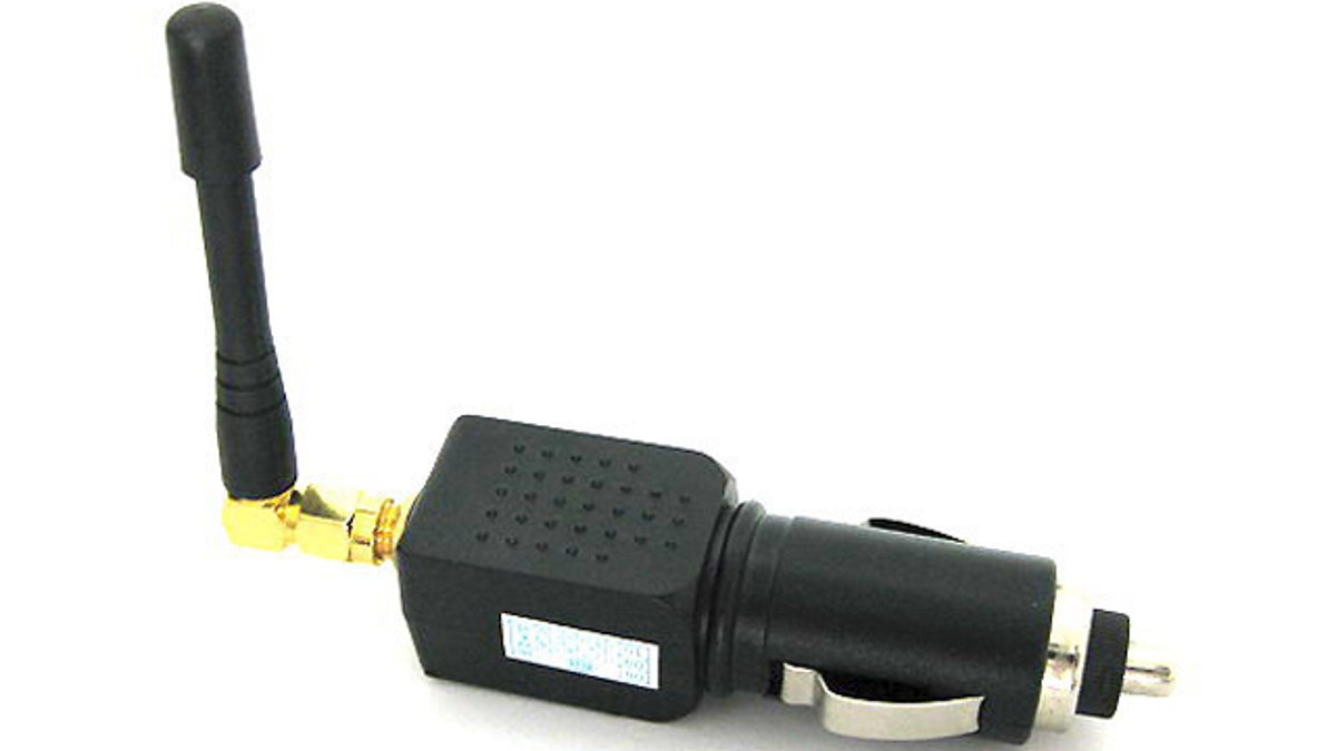
GPS signal travels on the radio waves from the group of 31 satellites. As soon as it’s captured, the satellite signal is decoded into the binary format that a receiving device can understand.

Consequently, GPS signals can be tampered with, as wireless traffic can be intercepted, delayed, modified, relayed, and so on. For the civilian-grade hardware, a GPS-signal simulator — typically needed for testing the receiving devices — can be used to delay, accelerate, or modify the signal arbitrarily.
The military-grade equipment is harder to spoof as it receives only valid GPS-signals. But with the help of broadband transceivers and high-gain directional antennas attackers can delay or boost/diminish the signal received by the military-grade gear.

Countermeasures for Preventing GPS-Spoofing Attacks
There are a number of methods that can prevent GPS-signal tampering.
- General Advices for Preventing GPS-Spoofing Attacks
Monitoring the overall strength of the GPS signal is one of the preventive techniques: in case it exceeds the expected signal’s strength manifold, it might indicate a spoofing attack. Other approaches include checking the strength of each separate satellite signal, time intervals between incoming signals, identification codes of the satellites, etc.
- General Methods for Preventing GPS-Spoofing Attacks

Among the preventive methods experts outline spatial correlation analysis based on the geometric distribution of a horizontal array of GPS antenna-receivers and the geometric configuration of visible navigation satellites, spoofing detection based on the geometry of a group of vehicles or vessels, plausibility confirmation of GPS signal localization, LiDAR and GPS integration enhanced with the factor graph-based state estimation framework for Chimera system that analyzes the GPS factor residuals, and others.

- Antennas and Receivers for Preventing GPS-Spoofing Attacks
A solution dubbed SPREE is claimed to be a spoofing-immune GPS receiver. It’s based on the Auxiliary Peak Tracking approach that allocates multiple channels to a single GPS satellite in order to receive both strong and weak signal correlations.

- Using Software-Defined Radio for Preventing GPS-Spoofing Attacks
Software-based solutions focus on analyzing stages of a GPS receiver on the RF chain, providing cryptographic encryption of the satellite signal, monitoring correlation of the signals coming from a group of satellites, checking the angle-of-arrival and radio spectrum characteristics, and so on.

- GPS-Spoofing Attack Detection Using Neural Networks
It is suggested to use a Multilayer Perceptron neural network (MLP) to prevent GPS attacks on power grids. The method employs the phasor measurement units (PMU) data, which flows into a decision block component that is capable of accurately locating GPS spoofing within the system.
- Fingerprinting of GPS Satellites

Another method suggests that authentic GPS-signals should be protected with fingerprinting — a set of unique technical or other features that can be traced back to a certain satellite. The method is centered around the analysis of multivariate normal distribution, segmentation of GPS data, time complexity, and so on. What’s notable, a malicious actor cannot achieve perfect carrier-phase alignment while spoofing the signal.
- Infrastructure-Enabled GPS Spoofing Detection
The core idea of the proposal is the infrastructure-enabled defense (IED) of the GPS data. It’s based on the usage of the roadside GPS receiving units together with a detector that employs the Isolation Forest technique to detect anomalies in the GPS signal.
 Antispoofing


